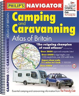
Description - Philip's Navigator Camping and Caravanning Atlas of Britain: Spiral 2nd Edition by Philip's Maps
THE ONLY ATLAS OF BRITAIN FOR CAMPING, CARAVANNING AND MOTORHOMES 'A map that beats all others' The Daily Telegraph'Scale, accuracy and clarity are without parallel' Driving Magazine'No. 1 in the UK for clear maps' Independent research surveyThe No. 1 Choice of Road Atlas for the serious motorist - Scale: 1.5 miles to 1 inch = 1:100,000 (Northern Scotland: 3 miles to 1 inch = 1:200,000) - Over 3,000 approved campsites located, plus useful advice from the Camping and Caravanning Club- Includes essential information for caravanning motorists: 6290 bridge height limits, 1477 bridge weight limits and 256 bridge width limits- No other road atlas of Britain offers this level of detail and clarity- Britain's best road mapping in a great spiral format- Every street in Britain marked on the maps- Over 3000 main roads named- 100 indexed town-centre maps plus approaches to 12 major urban areas- Super-detailed 6-page route-planning section- Exceptional road detail, from motorways to country lanes, with every junction, roundabout and slip-road shown- Thousands of individually named farms, houses and hamlets- 416 pagesPhilip's Navigator Camping and Caravanning Atlas of Britain includes a special feature by The Friendly Club, which is packed with essential camping and caravanning information.
Buy Philip's Navigator Camping and Caravanning Atlas of Britain: Spiral 2nd Edition by Philip's Maps from Australia's Online Independent Bookstore, BooksDirect.
A Preview for this title is currently not available.

 Checking availability...
 Philip's Gift Edition Street Atlas London - new hardback edition for 2018


