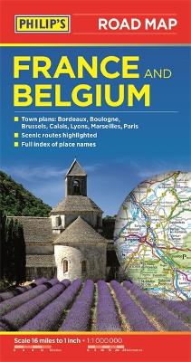
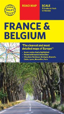
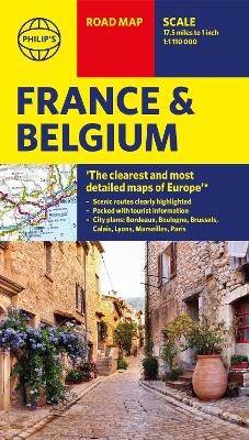
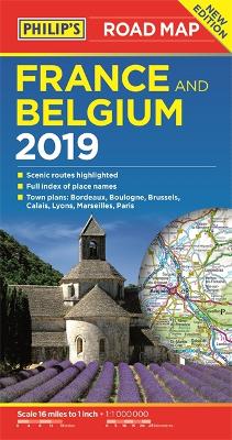
Description - Philip's Road Map France and Belgium by Philip's Maps
'THE CLEAREST AND MOST DETAILED MAPS OF EUROPE' David Williams MBE, CEO Gem Motoring Assist The map for navigating in France and Belgium: - Main scale super-clear 1:1,00,000 (16 miles to 1 inch)- Fully updated- Scenic routes highlighted- Maps on both sides - more for your money - City plans: Bordeaux, Boulogne, Brussels, Calais, Lyons, Marseilles and Paris - The important information for motoring: motorways (toll, pre-pay and free), mountain passes, railways, road numbers (European and local), distances between towns, - Fully indexof place names- Major city location maps- All the places of interest for your trip: from castles, historic houses, beaches and national parks to theme parks, places of worship and ancient monuments- includes Corsica In fact, everything you need for your trip to France and Belgium
Buy Philip's Road Map France and Belgium by Philip's Maps from Australia's Online Independent Bookstore, BooksDirect.
Other Editions - Philip's Road Map France and Belgium by Philip's Maps
A Preview for this title is currently not available.

 Philip's Gift Edition Street Atlas London - new hardback edition for 2018


 Checking availability...