Description - Philip's Navigator Road Atlas France: (Spiral binding) by Philip's Maps
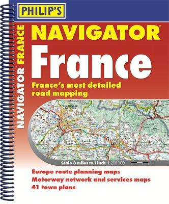
Philip's Navigator - now the UK's top road atlas brand offers you France Everything you'll need for driving in France Completely updated and revised for 2018 - The last word in maps of France - 520 pages of super-clear road maps- Scale of France maps: 3 miles to 1 inch = 1:200,000- Practical A4+ format with spiral binding- 18 pages of route planning maps covering all of Europe- Essential Autoroute mapping - 20 pages which show all the facilities available at all motorway service areas- 41 indexed town-centre maps, with approach and city-centre maps- Use QR codes to download additional town maps and tourist information- Mapping by French experts Michelin - including recommended scenic routes- 72-page index with a map of the departments Philip's Navigator France - the ultimate in French mapping. In this brand-new atlas, published for 2018, you will have France at your fingertips. First, there is the superb quality of the maps themselves - over 350 pages covering all of France at an ideal scale of 1:200,000 (3 miles to the inch) - giving you an ideal balance between clarity and detail. Philip's Navigator France comes in a highly practical spiral-binding in an A4+ format. You'll wonder how you ever managed to navigate France without it.
Buy Philip's Navigator Road Atlas France: (Spiral binding) by Philip's Maps from Australia's Online Independent Bookstore, BooksDirect.
A Preview for this title is currently not available.

 Philip's Gift Edition Street Atlas London - new hardback edition for 2018


 Checking availability...