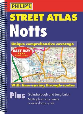
Description - Philip's Street Atlas Nottinghamshire by Philip's Maps
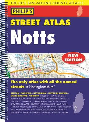
- The only atlas with all the named streets in Nottinghamshire. - Updated edition for 2018 with new business parks and estates added. - From Philip's, the UK's leading publisher of county street atlases. - Street maps show car parks, schools, hospitals and many other places of interest. - Practical route-planning section showing all A and B roads.BEESTON, MANSFIELD, NOTTINGHAM, SUTTON IN ASHFIELD, WEST BRIDGFORD, WORKSOP, Balderton, Bawtry, Bingham, Blidworth, Bottesford, Calverton, Clifton, Cotgrave, East Leake, Eastwood, Edwinstowe, Gainsborough, Harworth, Hucknall, Kegworth, Keyworth, Kimberley, Kirkby in Ashfield, Long Eaton, Mansfield Woodhouse, Market Warsop, Newark-on-Trent, Ollerton, Pinxton, Radcliffe on Trent, Rainworth, Ravenshead, Retford, Ruddington, Saxilby, Shirebrook, Southwell, Stapleford, Tickwell. This fully updated Philip's street atlas of Nottinghamshire gives comprehensive and detailed coverage of the region in a convenient spiral-bound format. The route planner shows all the A and B roads, and can be used when driving to get close to the destination before turning to the relevant large-scale street map. The street maps show every named road, street and lane very clearly, with major roads picked out in colour. The maps are at a standard scale of 3.5 inches to 1 mile. Nottingham city centre is shown at 7 inches to 1 mile. The comprehensive index lists street names and postcodes, plus schools, hospitals, railway stations, shopping centres and other such features picked out in red, with other places of interest shown in blue. Philip's Street Atlas Nottinghamshire is suitable for both business and leisure use.
Buy Philip's Street Atlas Nottinghamshire by Philip's Maps from Australia's Online Independent Bookstore, BooksDirect.
Other Editions - Philip's Street Atlas Nottinghamshire by Philip's Maps
A Preview for this title is currently not available.

 Philip's Gift Edition Street Atlas London - new hardback edition for 2018


 Checking availability...