
 Not Yet Published
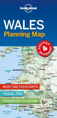
Chart your dream trip to Wales with Lonely Planet's Wales Planning Map, the ultimate travel tool to help you navigate your way around this amazing country.
Explore Skomer Island for unrivalled close-ups of home-making puffins, discover the beautiful golden beaches of the Gower Peninsula, climb or take the train to the summit of Mount Snowdon, and decide where to go and what to see next on a route that works for you.
Inside Lonely Planet's Wales Planning Map:
Get ready for your next adventure with Lonely Planet's Wales Planning Map, the ultimate navigation tool to inspire your upcoming trip and take you to the heart of Wales - your way.
Buy Lonely Planet Wales Planning Map by Lonely Planet from Australia's Online Independent Bookstore, BooksDirect.
 Lonely Planet Lonely Planet's Where To Go When Europe