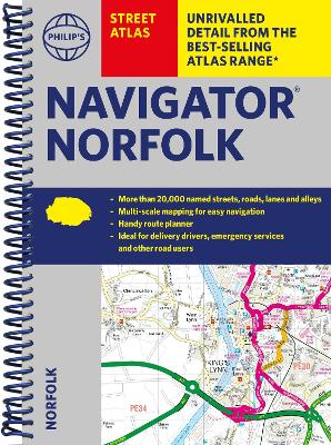
Description - Philip's Navigator Street Atlas Norfolk by Philip's Maps
The only county Street Atlas with all the named streets of Norfolk and perfect back-up for emergency services, delivery drivers, visitors and locals.With more than 16,000 named streets, roads, lanes and alleys, this is the essential map book for residents and visitors - especially if you're in a hurry.Includes all the streets in BECCLES, GREAT YARMOUTH, KING'S LYNN, Norwich, Thetford, Attleborough, Aylsham, Brundall, Bungay, Caister-on-Sea, Cromer, Dersingham, Diss, Downham Market, Fakenham, Harleston, Heacham, Hemsby, Hunstanton, Lakenheath, Loddon, North Walsham, Sheringham, Swaffham, Watton, Wells-next-the-Sea, Wisbech, Wymondham.- New completely revised edition in practical spiral-bound format- Street maps show car parks, schools, hospitals and many other places of interest, including off the beaten track- 4-page practical route-planning section showing all A and B roads- Super-clear mapping- Easy-to-use index- Scales: 1 inches to 1 mile (1:36,000) and 3 inches to 1 mile (1:18,000). Norwich: 7 inches to 1 mile (1:9,000).Other information on the maps includes postcode boundaries, car parks, railway and bus stations, post offices, schools, colleges, hospitals, police and fire stations, places of worship, leisure centres, footpaths and bridleways, camping and caravan sites, golf courses, and many other places of interest.
Buy Philip's Navigator Street Atlas Norfolk by Philip's Maps from Australia's Online Independent Bookstore, BooksDirect.
A Preview for this title is currently not available.

 Available to order, ships in 10-12 business days
 Philip's Gift Edition Street Atlas London - new hardback edition for 2018