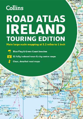
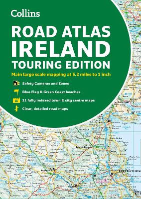
Description - Road Atlas Ireland: Touring edition A4 Paperback (Collins Road Atlas) by Collins Maps
Explore Ireland with this accurate and fully updated road atlas.
Road atlas, at A4 size, covering the whole of Ireland featuring clear and detailed Collins colour mapping at a scale of 5.2 miles to 1 inch. Perfect for both residents and visitors touring Ireland.
Clear, detailed and up-to-date Collins mapping showing:
• Places of tourist interest
• Contact information for Tourist Information Centres with grid references to the mapping
• Fully indexed street maps of 11 cities and towns – Dublin, Belfast, Cork, Limerick, Londonderry (Derry), Galway, Bangor, Waterford, Dun Laoghaire, Drogheda and Killarney
• Speed enforcement zones and fixed location speed cameras
• Blue Flag & Green Coast beaches
• Ferry and airport information; Distance chart; Distances marked on the roads in miles and kilometres
• Route planning map of the whole of Ireland at 15.8 miles to 1 inch
• Administrative map of Irish counties and districts.
Buy Road Atlas Ireland: Touring edition A4 Paperback (Collins Road Atlas) by Collins Maps from Australia's Online Independent Bookstore, BooksDirect.
Other Editions - Road Atlas Ireland: Touring edition A4 Paperback (Collins Road Atlas) by Collins Maps
A Preview for this title is currently not available.

 Checking availability...
 Collins Primary Atlas: Ideal for learning at school and at home (Collins School Atlases)
 Collins Student Atlas: Ideal for learning at school and at home (Collins School Atlases)
 Collins First Atlas: Ideal for learning at school and at home (Collins School Atlases)